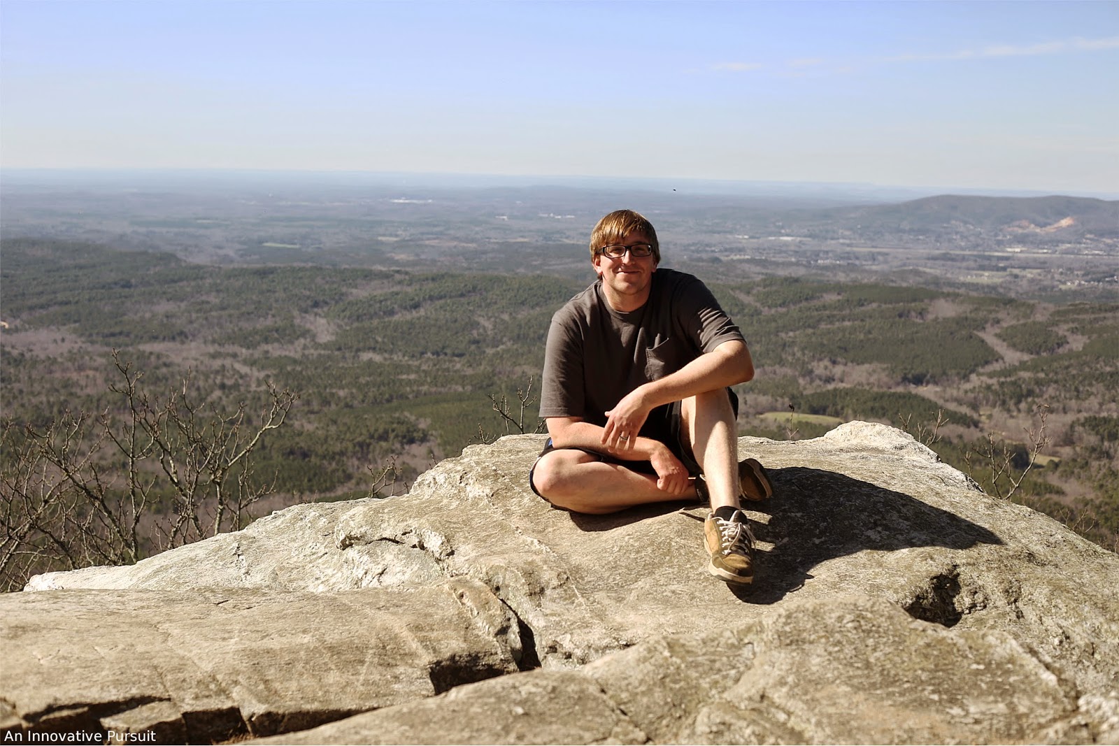
For a while I’ve had plans to visit Mount Mitchell, the highest peak east of the Mississippi River, in North Carolina. The drive is almost an hour from Asheville depending on how traffic is on the Blue Ridge Parkway. It was well worth the drive, which was packed full of fall color and amazing overlooks. I want to take a trip back to the Blue Ridge Parkway just to see the beautiful views though that seem like a far away country. Mount Mitchell State Park is located off the Blue Ridge Parkway, and offers more trails and amazing views from the highest peak in eastern United States.

We had plans to hike a longer trail to Mount Mitchell, but a change of plans led us to hike to Mount Craig from the Summit Tower Trailhead to Mount Mitchell. The Summit Tower Trailhead to Mount Mitchell is a gradual incline with benches to rest on, and it has restrooms on the way. The trip is 0.1 miles one way making for a 0.2 miles roundtrip on the trailhead. I would say the trail is moderately easy. It’s one of the best paved trails leading to an overlook I’ve visited, and it’s ADA accessible. They also provide motorized assistance if needed. It can take the wind out of you though, so rest as needed on the walk up.


It was a popular day to be at Mount Mitchell. Fall colors were making it worth everyone to be out in the cool day. We arrived and it was already in the 50’s. A sign greets your arrival to the tower at Mount Mitchell announcing it’s height at 6,684 feet.

Signs around the tower indicate what direction you’re looking in, and what you can see in the distance. We had a great view on the clear day.

To the west we could see a few prominent peaks. The sun was also hanging over this direction causing for dramatic shadows. From the left you can see Point Misery, Little Butt, Big Butt, and to the right you can see Little Bald, Big Bald, and Burnsville, North Carolina. And yes, those mountains were really named “butt.”
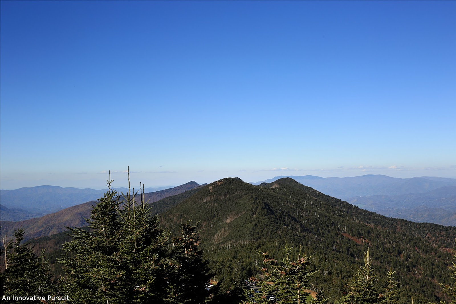
To the north there is the view of where we hiked after walking back from Mount Mitchell, the 2nd highest peak east of the Mississippi River, Mount Craig. Little Bald, Big Bald, and Burnsville, North Carolina can also still be seen from this side to the north. Johnson City, Tennessee comes into view here too, along with Unaka Mountains, Celo Knob, Winter Star, Cattail Peak, Balsam Cove, Roan Mountain, Big Yellow Mountain, Grandfather Mountain, Table Rock in NC, and Hawkbill. Boone, North Carolina and the Feldspar Mine are visible here too.

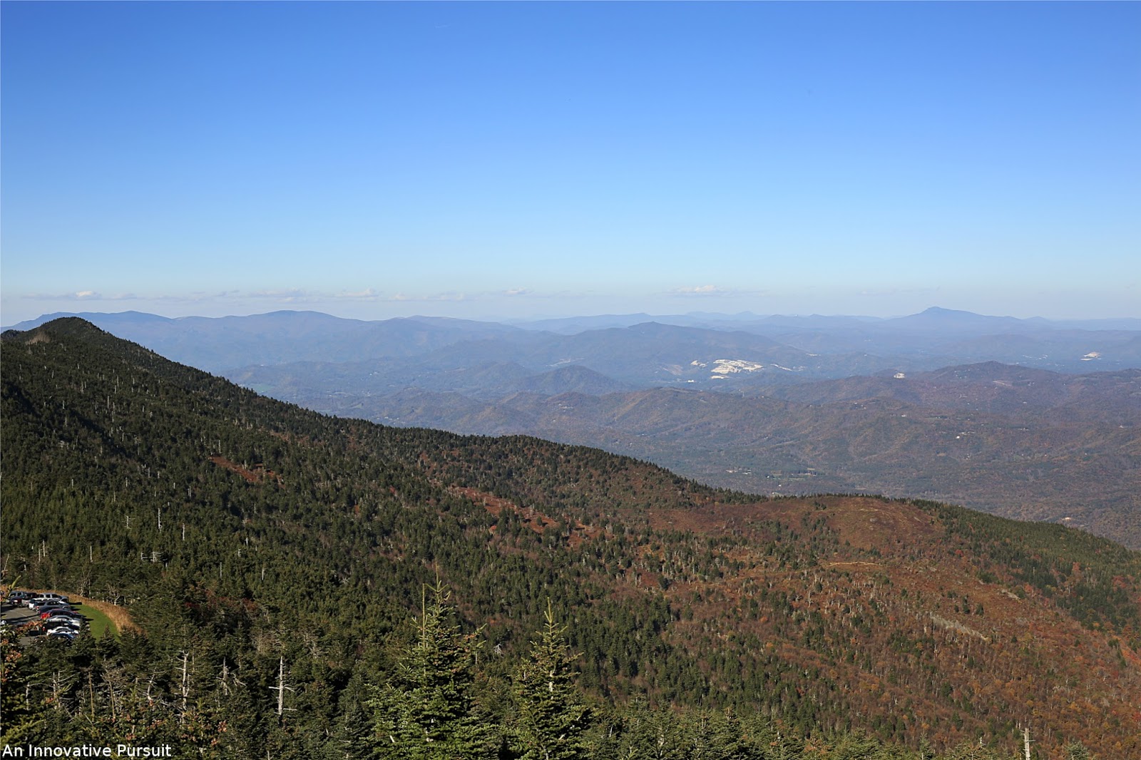

The east provided some of my favorite views. It was also amazingly lit by the sun in front of it, so it had just the right amount of light. The view has continued views from the north, you have additional views of Beech Mountain, Sugar Mountain, Spruce Pine, North Carolina, Crabtree Meadows on the Blue Ridge Parkway, Shortoff Mountain, Mount Mitchell Golf Course, Lake James, Buck Creek Gap on the Blue Ridge Parkway, Marlon, North Carolina, Lake Tahoma, Buzzard’s Roost, Maple Camp Bald, and Commissary Ridge.


Walking around the tower our final view was to the south. We had views of Chimney Rock State Park, Rumbling Bald, Tryon Peak, Bald Knob Ridge on the Blue Ridge Parkway, Pinnacle Mountain, Little Pisgah Mountain, Graybeard, Barnhill Mountain, Mount Hallback, Clingman’s Peak, Mount Gibbs, Stepps Gap, Asheville, North Carolina, Rainbow Gap, Mount Pisgah, Craggy Dome, Balsam Gap on the Blue Ridge Parkway, Clingmans Dome in Tennessee in the Great Smoky Mountains National Park, Mount Sterling in the Great Smoky Mountains National Park, North Carolina, and the restaurant in the park. There are also continued views to the west.

After hiking to Mount Craig and Big Tom we returned to the summit of Mount Mitchell. The crowds had cleared off allowing for some photos I hadn’t been able to get. One of the photos was of the gravesite of Dr. Elisha Mitchell. He surveyed the summit of Mount Mitchell to find it was the highest peak in eastern United States. Dr. Mitchell died as well hiking the Black Mountains to survey the peaks. In 1857 he fell from above a 40 foot waterfall where he was knocked out an drowned. The mountain was given his name in 1858 to honor him. He was buried in Asheville, but his body was moved to the top of Mount Mitchell where he is now buried.
When I was a kid I was always told to not run on graves or climb them. Whether that was an act of respect I was being taught or just because my parents were annoyed with me running around I don’t know. There were plenty of people standing atop Dr. Mitchell’s grave though. I wonder how many people read the memorial to know he was buried here though?


The shape of North Carolina is in the middle of the tower, and on it is a marking for the highest point. Mount Mitchell State Park was the first state park established in North Carolina in 1915. (Learn More)

If you have a chance in the evening to see the sunset it’s just as beautiful and awe inspiring as the mountains in the middle of the day. The moon was also prominent above the Black Mountain range that Mount Mitchell resides in.

The parking lot also boasts great view. The elevation where we parked was 6, 578 feet.

Mount Mitchell State Park is free to visit, but donations can be made in the visitor center, and it is open year around. Hours change seasonally. They open year around at 8 a.m., but close variously at 10 p.m., 9 p.m., and 6 p.m., and as the days grow darker. Mount Mitchell is also a designated UNESCO’s International Biosphere Reserve to represent the relationship between people and nature as it is observed. The state park also boasts a restaurant, concession stand with coffee and cocoa, and a gift shop.