
After not visiting many outdoors sights for a month we were growing antsy this July, and we found a short walk to the top of Sassafras Mountain. The highest peak of South Carolina borders the North Carolina and South Carolina state line.

The area is currently under development and owned by Duke Energy. At the top of the mountain you will find an area where the trees have been removed along with other vegetation atop the mountain for a platform providing a 360 view of the surrounding area is in the plan. A tower also sits on top of the mountain. The license to Duke Energy was ranted by the Federal Energy Regulatory Commission.

A short stroll from the parking lot is an overlook. The path is gravel, but I believe anyone can access this spot.

The overlook is a great view of the surrounding mountains and lakes. It is worth it just for this view to visit.

This is one of the views from the overlook. The title photo for the blog is also a view from the same overlook.

I highly enjoyed the views at the top of the mountain. These photos were taken just before a thunderstorm poured in.

The trail to the summit is only a short walk from the boardwalk uphill. Going to the short way from the overlook to the top is well worth the almost 360 view you have of the surrounding areas.

You can see what appears to be a resort or huge home in the distant. From the view at the top you can see into 4 states, South Carolina, North Carolina, Tennessee, and Georgia.

The elevation at Sassafras Mountain is 3,553 feet. There is a plaque at the top to mark the tallest peak placed August 1, 2012 when a lot more trees were at the top. It is also the marker for the state line between North Carolina and South Carolina, which was established in 1815.

There is a bench at the top to sit. It provides a nice view, and thankfully the clouds kept us shaded.
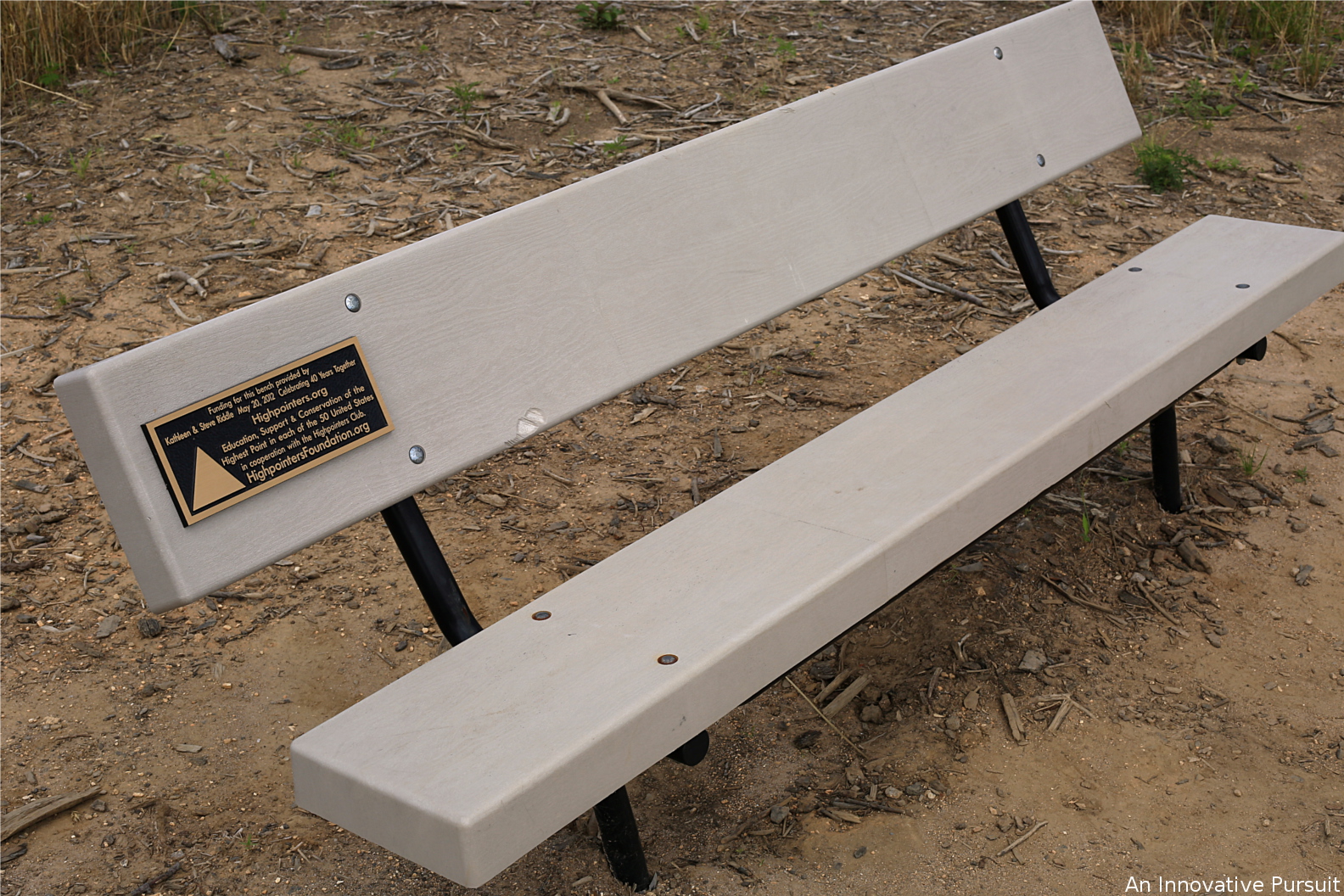
Kathleen and Steve Riddle provided funding for the bench to celebrate 40 years together. This was also done in cooperation with Highpointers.org. The Highpointers Foundation works to educate, support, and conserve the highest point in the 50 states.

There are trails at the top of the mountain you can take from here. The Foothills Trail leads to Laurel Valley at 4.7 miles and you can walk to Oconee State Park in South Carolina at 66.5 miles.

The trails began out toward this way. We have an interest in coming back to the area to hike some of the surrounding areas.

In the area you can also hike to Table Rock State Park or Caesars Head State Park. Not far from the summit another trail leads to Chimneytop Gap.

One of my favorite overlooks onto the other mountains was of the mountain with exposed rock. It also had ridged depth providing an interesting standout from the surroundings.

The walk to the summit of the Sassafras Mountain is an easy estimated 100 yards. The views are amazing from the top, and they do show each mountain peak so far has different, beautiful views. There is a more accessible overlook before reaching the summit though that provides great views. Sassafras Mountain is free to access. Currently donations are being asked to help construct a platform.
